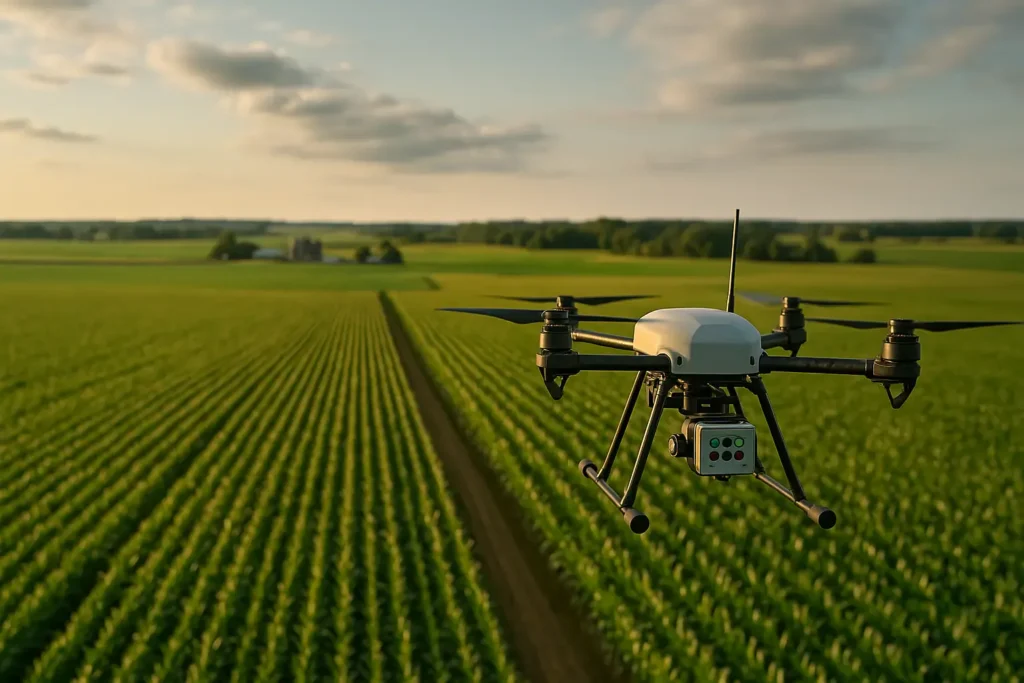
Soil and crops reveal more than meets the eye – if you know how to read their signals. With drone-mounted multispectral cameras, it’s possible to detect plant stress, nutrient deficiency, disease, or soil compaction early – before damage becomes visible to the naked eye.
Our system captures multiple spectral layers (NIR, RedEdge, NDVI, NDRE, VARI, and more) without any contact with the crop, delivering accurate geo-tagged data. We combine aerial surveying, image analysis, and expert interpretation to give you clear insights into field conditions.
The results support precision agriculture, targeted spraying, optimized irrigation, increased yield, and improved crop protection. We also provide 2D/3D mapping, orthophotos, damage documentation, geolocation, and parcel monitoring.
More efficient soil, healthier crops, safer investment.
FAQ – frequently asked questions
Corn, wheat, rapeseed, sunflower, orchards, vineyards, and industrial crops – wherever early issue detection and precise crop management matter.
NDVI, VARI, NDRE, GNDVI, plant stress index, irrigation and fertilization recommendations, identified low/high-yield zones, result interpretation, and intervention suggestions.
Drones offer higher resolution, greater accuracy, and on-demand data collection – even for small plots. Satellites often lack the detail and flexibility needed for real-world farming decisions.
Agrotechnicians, cooperatives, large farms, advisory services, investors, and producers aiming to boost yield, cut costs, and make data-driven decisions.
You contact us, we define your needs, plan the flight, capture the data, analyze it, and deliver a full report – all within 48 hours, with expert support included.
We can analyze anywhere from 1 to 200 hectares per day, depending on terrain, crop type, and weather conditions.
Want to know which part of your field brings the highest yield – and which is costing you money?
Send us your location, crop type, and inspection goal. We’ll propose the best solution based on your needs.