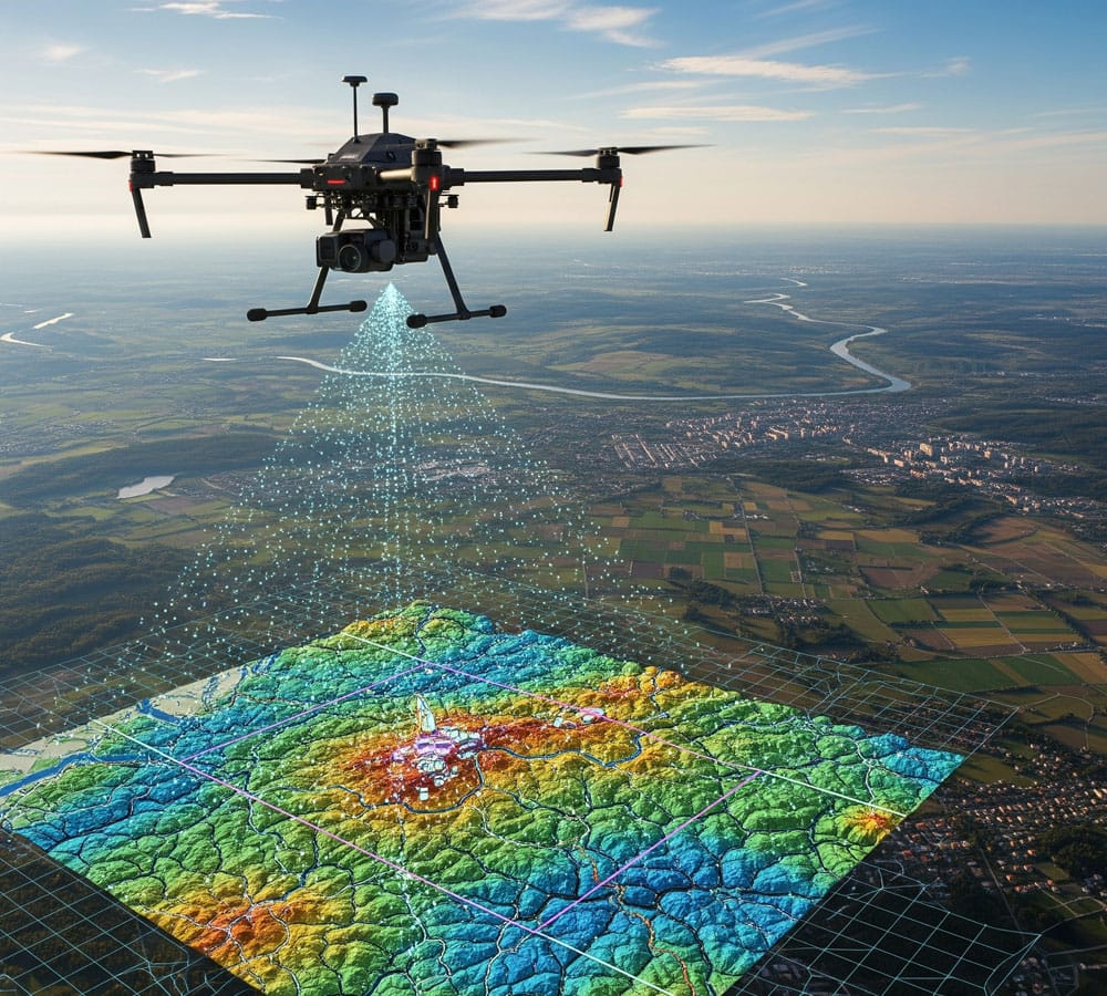
When you need an accurate, fast, and scalable representation of terrain or structures, drone-based 3D modeling and orthophoto imaging offer the smartest solution. With precise flight planning and advanced photogrammetry, our system generates high-resolution 3D models, digital orthophoto maps, and volumetric analyses tailored to various needs.
We use drones equipped with RTK/PPK technology and photogrammetry-optimized cameras to achieve millimeter-level accuracy. The resulting data is fully compatible with AutoCAD, QGIS, Pix4D, and similar BIM and GIS platforms.
Whether you’re planning construction, reconstruction, investment, material volume estimation, worksite monitoring, or simply need an updated map – our method delivers a fast, safe snapshot of real conditions without sending personnel into hazardous or hard-to-reach areas.
FAQ – frequently asked questions
Construction sites, urban areas, roads, agricultural land, forests, excavation zones, industrial facilities, rooftops, façades, surroundings, and individual structures.
3D models display the volume and spatial structure of objects, while an orthophoto map shows a corrected aerial image of the terrain – flattened and aligned for accuracy.
Architects, engineers, designers, surveyors, construction companies, municipalities, forestry services, farmers, supervision teams, and investors.
Depending on terrain, RTK support, and project scope, point accuracy can reach ±2–5 cm.
Orthophoto maps in GeoTIFF or JPEG, 3D mesh models (obj, fbx, las), digital surface models, volume calculations, CAD-aligned data, reports, and visualizations.
While drone mapping isn’t a legal substitute for a geodetic survey, it’s commonly used as supplemental documentation, preliminary data, or visual support in disputes, reviews, or planning processes.
Need a detailed 3D model or orthophoto map of your site?
Send us the location and purpose of the scan – we’ll recommend the best approach and delivery time.